
Kochen topographic map
Interactive map
Click on the map to display elevation.
About this map
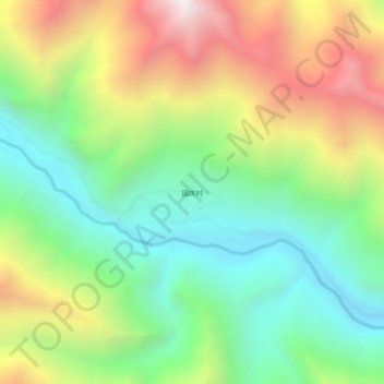
Name: Kochen topographic map, elevation, terrain.
Location: Kochen, དཔལ་འབར་རྫོང 边坝县, Qamdo, Tibet, China (30.67768 93.86479 30.71768 93.90479)
Average elevation: 4,650 m
Minimum elevation: 4,066 m
Maximum elevation: 5,562 m