
Thank you for supporting this site ❤️
Make a donation
Make a donation
Sarasota topographic map
Click on the map to display elevation.
Thank you for supporting this site ❤️
Make a donation
Make a donation
About this map
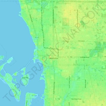
Name: Sarasota topographic map, elevation, terrain.
Location: Sarasota, Sarasota County, Florida, United States (27.29311 -82.58891 27.38915 -82.47871)
Average elevation: 7 m
Minimum elevation: -1 m
Maximum elevation: 18 m
Thank you for supporting this site ❤️
Make a donation
Make a donation