
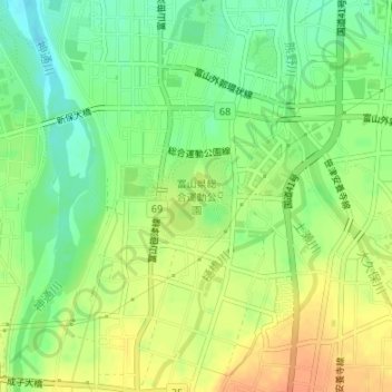
富山県総合運動公園 topographic map
Interactive map
Click on the map to display elevation.
About this map
Name: 富山県総合運動公園 topographic map, elevation, terrain.
Location: 富山県総合運動公園, 富山市, 富山県, 中部地方, 日本 (36.62305 137.19326 36.62953 137.20020)
Average elevation: 39 m
Minimum elevation: 20 m
Maximum elevation: 58 m
Other topographic maps
Click on a map to view its topography, its elevation and its terrain.