
朱家地 topographic map
Interactive map
Click on the map to display elevation.
About this map
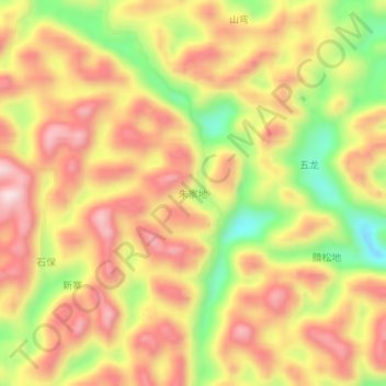
Name: 朱家地 topographic map, elevation, terrain.
Location: 朱家地, 百色市, 广西壮族自治区, 中国 (24.47587 105.27876 24.51587 105.31876)
Average elevation: 1,523 m
Minimum elevation: 1,280 m
Maximum elevation: 1,703 m
Other topographic maps
Click on a map to view its topography, its elevation and its terrain.