
愛南町 topographic map
Interactive map
Click on the map to display elevation.
About this map
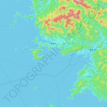
Name: 愛南町 topographic map, elevation, terrain.
Location: 愛南町, 南宇和郡, 愛媛県, 日本 (32.78602 132.24397 33.06347 132.69152)
Average elevation: 103 m
Minimum elevation: 0 m
Maximum elevation: 1,083 m