
Middelie topographic map
Interactive map
Click on the map to display elevation.
About this map
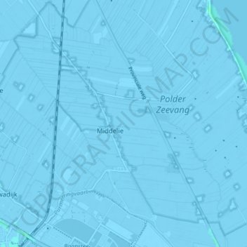
Name: Middelie topographic map, elevation, terrain.
Location: Middelie, Edam-Volendam, Noord-Holland, Nederland (52.51802 4.98669 52.56053 5.04666)
Average elevation: -2 m
Minimum elevation: -6 m
Maximum elevation: 3 m
Other topographic maps
Click on a map to view its topography, its elevation and its terrain.
Schardam
Nederland > Noord-Holland > Edam-Volendam > Schardam
Schardam, Edam-Volendam, Noord-Holland, Nederland, 1476, Nederland
Average elevation: -1 m
Fort bij Edam
Nederland > Noord-Holland > Edam-Volendam
Fort bij Edam, Zeevangszeedijk, Edam, Edam-Volendam, Noord-Holland, Nederland, 1135CX, Nederland
Average elevation: 0 m