
双龙街道 topographic map
Interactive map
Click on the map to display elevation.
About this map
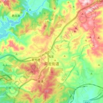
Name: 双龙街道 topographic map, elevation, terrain.
Location: 双龙街道, 盘龙区, 昆明市, 云南省, 中国 (25.07512 102.77815 25.17903 102.90040)
Average elevation: 2,123 m
Minimum elevation: 1,940 m
Maximum elevation: 2,380 m
Other topographic maps
Click on a map to view its topography, its elevation and its terrain.