
Wallis and Futuna topographic map
Interactive map
Click on the map to display elevation.
About this map
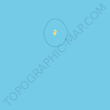
Name: Wallis and Futuna topographic map, elevation, terrain.
Location: Wallis and Futuna, France (-14.56307 -178.38737 -12.98280 -175.91904)
Average elevation: 0 m
Minimum elevation: 0 m
Maximum elevation: 134 m
Other topographic maps
Click on a map to view its topography, its elevation and its terrain.
Grison
France > Pays de la Loire > Loire-Atlantique > Vallons-de-l'Erdre > Saint-Mars-la-Jaille
Average elevation: 49 m