
Fumal topographic map
Interactive map
Click on the map to display elevation.
About this map
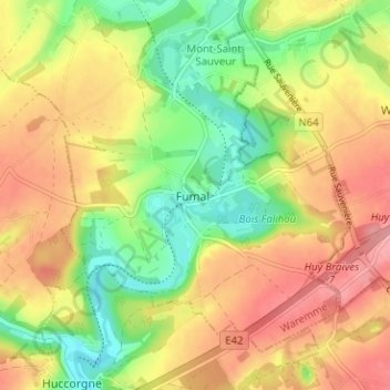
Name: Fumal topographic map, elevation, terrain.
Location: Fumal, Braives, Waremme, Liège, Wallonie, 4260, Belgique (50.56679 5.16430 50.60679 5.20430)
Average elevation: 145 m
Minimum elevation: 93 m
Maximum elevation: 195 m