
Thank you for supporting this site ❤️
Make a donation
Make a donation
Dirlewang topographic map
Click on the map to display elevation.
Thank you for supporting this site ❤️
Make a donation
Make a donation
About this map
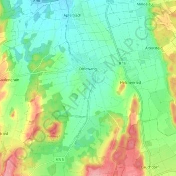
Name: Dirlewang topographic map, elevation, terrain.
Location: Dirlewang, Landkreis Unterallgäu, Bayern, 87742, Deutschland (47.97105 10.46713 48.01943 10.55751)
Average elevation: 651 m
Minimum elevation: 612 m
Maximum elevation: 725 m
Thank you for supporting this site ❤️
Make a donation
Make a donation
Other topographic maps
Click on a map to view its topography, its elevation and its terrain.