
Cantu topographic map
Interactive map
Click on the map to display elevation.
About this map
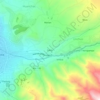
Name: Cantu topographic map, elevation, terrain.
Location: Cantu, Unchus, Independencia, Huaraz, Áncash, 02001, Perú (-9.54465 -77.52327 -9.50465 -77.48327)
Average elevation: 3,304 m
Minimum elevation: 3,076 m
Maximum elevation: 3,777 m