
Loraine topographic map
Interactive map
Click on the map to display elevation.
About this map
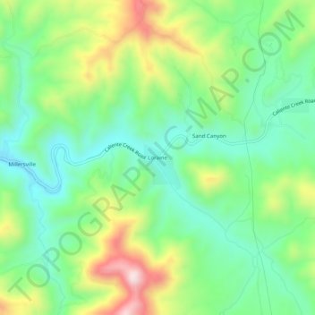
Name: Loraine topographic map, elevation, terrain.
Location: Loraine, Kern County, California, USA (35.28468 -118.45675 35.32468 -118.41675)
Average elevation: 923 m
Minimum elevation: 768 m
Maximum elevation: 1,218 m