
Thank you for supporting this site ❤️
Make a donation
Make a donation
Auburn topographic map
Click on the map to display elevation.
Thank you for supporting this site ❤️
Make a donation
Make a donation
About this map
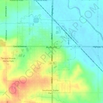
Name: Auburn topographic map, elevation, terrain.
Location: Auburn, Nemaha County, Nebraska, 68305, United States (40.37505 -95.85774 40.40731 -95.82925)
Average elevation: 300 m
Minimum elevation: 277 m
Maximum elevation: 342 m
Thank you for supporting this site ❤️
Make a donation
Make a donation