
连球 topographic map
Interactive map
Click on the map to display elevation.
About this map
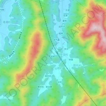
Name: 连球 topographic map, elevation, terrain.
Location: 连球, 广宁县, 肇庆市, 广东省, 中国 (23.44792 112.43311 23.48792 112.47311)
Average elevation: 159 m
Minimum elevation: 18 m
Maximum elevation: 464 m
Other topographic maps
Click on a map to view its topography, its elevation and its terrain.