
Pine Lodge topographic map
Interactive map
Click on the map to display elevation.
About this map
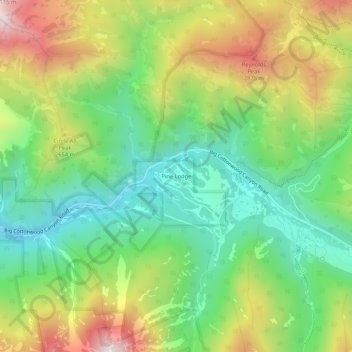
Name: Pine Lodge topographic map, elevation, terrain.
Location: Pine Lodge, Salt Lake County, Utah, United States (40.62864 -111.67732 40.66864 -111.63732)
Average elevation: 2,490 m
Minimum elevation: 2,132 m
Maximum elevation: 3,051 m