
军粮城街道 topographic map
Interactive map
Click on the map to display elevation.
About this map
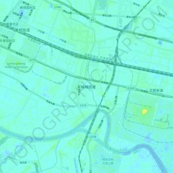
Name: 军粮城街道 topographic map, elevation, terrain.
Location: 军粮城街道, 东丽区, 天津市, 300301, 中国 (39.00338 117.41176 39.08338 117.49176)
Average elevation: 3 m
Minimum elevation: -2 m
Maximum elevation: 15 m
Other topographic maps
Click on a map to view its topography, its elevation and its terrain.