
Kempner topographic map
Interactive map
Click on the map to display elevation.
About this map
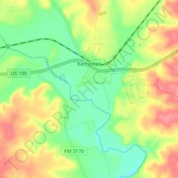
Name: Kempner topographic map, elevation, terrain.
Location: Kempner, Lampasas County, Texas, United States of America (31.06028 -98.00566 31.08685 -97.94480)
Average elevation: 280 m
Minimum elevation: 244 m
Maximum elevation: 323 m