
Kühberg (Stangele) topographic map
Interactive map
Click on the map to display elevation.
About this map
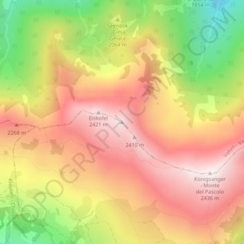
Name: Kühberg (Stangele) topographic map, elevation, terrain.
Average elevation: 2,095 m
Minimum elevation: 1,640 m
Maximum elevation: 2,427 m
Other topographic maps
Click on a map to view its topography, its elevation and its terrain.
Kristen
Italien > Trentino-Südtirol > Bozen > Vahrn
Kristen, Vahrn, Eisacktal, Bozen, Trentino-Südtirol, Italien
Average elevation: 2,181 m