
Parque V Centenario topographic map
Interactive map
Click on the map to display elevation.
About this map
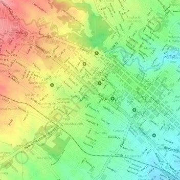
Name: Parque V Centenario topographic map, elevation, terrain.
Location: Parque V Centenario, San José, Córdoba, Veracruz, México (18.89304 -96.94214 18.89351 -96.94141)
Average elevation: 876 m
Minimum elevation: 822 m
Maximum elevation: 934 m