
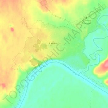
Ванавара topographic map
Interactive map
Click on the map to display elevation.
About this map
Name: Ванавара topographic map, elevation, terrain.
Average elevation: 269 m
Minimum elevation: 237 m
Maximum elevation: 316 m
Other topographic maps
Click on a map to view its topography, its elevation and its terrain.
Тура
Rússia > Красноярский край > Эвенкийский район > Тура
Тура, сельское поселение Тура, Эвенкийский район, Красноярский край, Distrito Federal Siberiano, 648000, Rússia
Average elevation: 197 m