
Torà topographic map
Interactive map
Click on the map to display elevation.
About this map
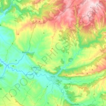
Name: Torà topographic map, elevation, terrain.
Location: Torà, Segarra, Lérida, Cataluña, 25750, España (41.77593 1.36020 41.90603 1.51347)
Average elevation: 574 m
Minimum elevation: 402 m
Maximum elevation: 871 m