
Grand Junction topographic map
Interactive map
Click on the map to display elevation.
About this map
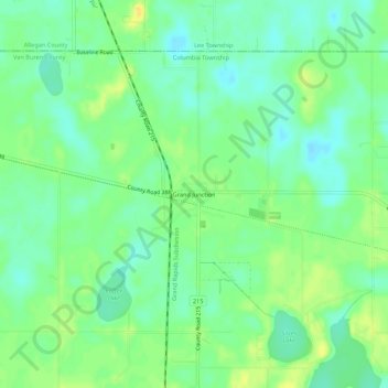
Name: Grand Junction topographic map, elevation, terrain.
Location: Grand Junction, Van Buren County, Michigan, 49056, USA (42.38420 -86.09308 42.42420 -86.05308)
Average elevation: 206 m
Minimum elevation: 195 m
Maximum elevation: 220 m