
木島平村 topographic map
Interactive map
Click on the map to display elevation.
About this map
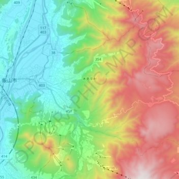
Name: 木島平村 topographic map, elevation, terrain.
Location: 木島平村, 下高井郡, 長野県, 中部地方, 日本 (36.79343 138.38417 36.89488 138.55668)
Average elevation: 897 m
Minimum elevation: 293 m
Maximum elevation: 1,904 m
Other topographic maps
Click on a map to view its topography, its elevation and its terrain.