
San Feliú de Veri / Sant Feliu de Verí topographic map
Interactive map
Click on the map to display elevation.
About this map
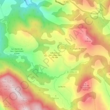
Name: San Feliú de Veri / Sant Feliu de Verí topographic map, elevation, terrain.
Average elevation: 1,427 m
Minimum elevation: 1,141 m
Maximum elevation: 1,687 m