
Flower Pot topographic map
Interactive map
Click on the map to display elevation.
About this map
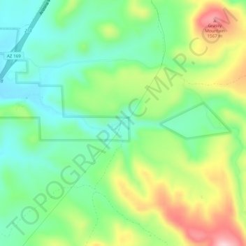
Name: Flower Pot topographic map, elevation, terrain.
Location: Flower Pot, Yavapai County, Arizona, USA (34.48336 -111.99071 34.52336 -111.95071)
Average elevation: 1,439 m
Minimum elevation: 1,354 m
Maximum elevation: 1,588 m