
Palmer topographic map
Interactive map
Click on the map to display elevation.
About this map
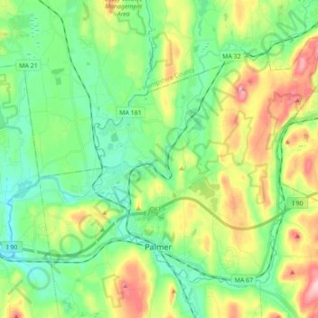
Name: Palmer topographic map, elevation, terrain.
Location: Palmer, Hampden, Massachusetts, États-Unis d'Amérique (42.14115 -72.39548 42.24516 -72.22083)
Average elevation: 166 m
Minimum elevation: 81 m
Maximum elevation: 362 m