
Tukarak Island topographic map
Interactive map
Click on the map to display elevation.
About this map
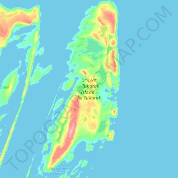
Name: Tukarak Island topographic map, elevation, terrain.
Location: Tukarak Island, NU, Canada (56.09705 -78.93879 56.43807 -78.64741)
Average elevation: 14 m
Minimum elevation: -2 m
Maximum elevation: 167 m
Other topographic maps
Click on a map to view its topography, its elevation and its terrain.