
Falaj topographic map
Interactive map
Click on the map to display elevation.
About this map
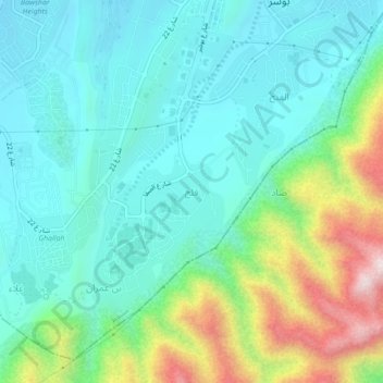
Name: Falaj topographic map, elevation, terrain.
Location: Falaj, Muscat, Muscat Governorate, 112, Oman (23.52000 58.38000 23.56000 58.42000)
Average elevation: 194 m
Minimum elevation: 27 m
Maximum elevation: 681 m