
Coirós topographic map
Interactive map
Click on the map to display elevation.
About this map
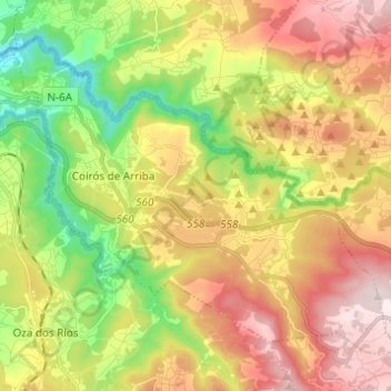
Name: Coirós topographic map, elevation, terrain.
Location: Coirós, Betanzos, A Corogne, Galice, Espagne (43.20997 -8.19712 43.28241 -8.07476)
Average elevation: 255 m
Minimum elevation: 1 m
Maximum elevation: 534 m
Other topographic maps
Click on a map to view its topography, its elevation and its terrain.