
Graham County topographic map
Interactive map
Click on the map to display elevation.
About this map
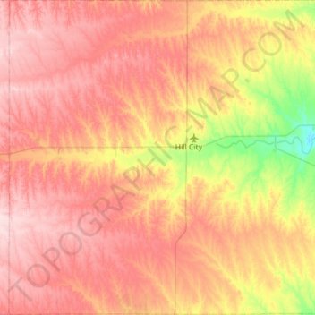
Name: Graham County topographic map, elevation, terrain.
Location: Graham County, Kansas, États-Unis d'Amérique (39.13183 -100.16421 39.56749 -99.60192)
Average elevation: 720 m
Minimum elevation: 600 m
Maximum elevation: 813 m