
Randolph topographic map
Interactive map
Click on the map to display elevation.
About this map
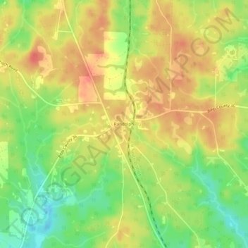
Name: Randolph topographic map, elevation, terrain.
Location: Randolph, Bibb County, Alabama, United States (32.87957 -86.93082 32.91957 -86.89082)
Average elevation: 162 m
Minimum elevation: 130 m
Maximum elevation: 186 m