
Ruà topographic map
Interactive map
Click on the map to display elevation.
About this map
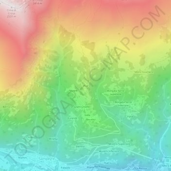
Name: Ruà topographic map, elevation, terrain.
Location: Ruà, Sampeyre, Coni, Piémont, Italie (44.57677 7.18171 44.61677 7.22171)
Average elevation: 1,554 m
Minimum elevation: 860 m
Maximum elevation: 2,532 m
Other topographic maps
Click on a map to view its topography, its elevation and its terrain.