
马鞍山西沟 topographic map
Interactive map
Click on the map to display elevation.
About this map
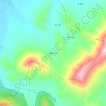
Name: 马鞍山西沟 topographic map, elevation, terrain.
Location: 马鞍山西沟, 龙潭区, 吉林市, 吉林省, 中国 (43.88717 126.80422 43.92717 126.84422)
Average elevation: 357 m
Minimum elevation: 238 m
Maximum elevation: 631 m
Other topographic maps
Click on a map to view its topography, its elevation and its terrain.