
Glengarry topographic map
Interactive map
Click on the map to display elevation.
About this map
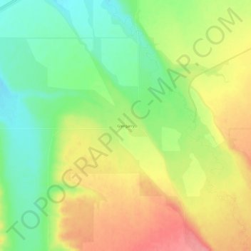
Name: Glengarry topographic map, elevation, terrain.
Location: Glengarry, Fergus County, Montana, USA (47.00692 -109.56796 47.04692 -109.52796)
Average elevation: 1,257 m
Minimum elevation: 1,214 m
Maximum elevation: 1,305 m