
Cedar Lake topographic map
Interactive map
Click on the map to display elevation.
About this map
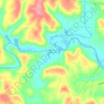
Name: Cedar Lake topographic map, elevation, terrain.
Location: Cedar Lake, Walker County, Alabama, USA (33.61761 -87.30195 33.65761 -87.26195)
Average elevation: 119 m
Minimum elevation: 74 m
Maximum elevation: 182 m