
Fort Hill topographic map
Interactive map
Click on the map to display elevation.
About this map
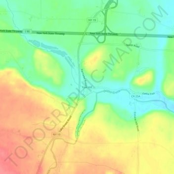
Name: Fort Hill topographic map, elevation, terrain.
Average elevation: 226 m
Minimum elevation: 194 m
Maximum elevation: 261 m
Other topographic maps
Click on a map to view its topography, its elevation and its terrain.
Limerock
United States > New York > Genesee County > Town of LeRoy
Limerock, Town of LeRoy, Genesee County, New York, United States
Average elevation: 236 m