
孝丰镇 topographic map
Interactive map
Click on the map to display elevation.
About this map
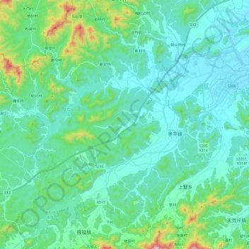
Name: 孝丰镇 topographic map, elevation, terrain.
Location: 孝丰镇, 安吉县, 湖州市, 浙江省, 中国 (30.49961 119.39930 30.69808 119.59816)
Average elevation: 142 m
Minimum elevation: 16 m
Maximum elevation: 780 m
Other topographic maps
Click on a map to view its topography, its elevation and its terrain.