
施秉喀斯特自然遗产地旅游景区 topographic map
Interactive map
Click on the map to display elevation.
About this map
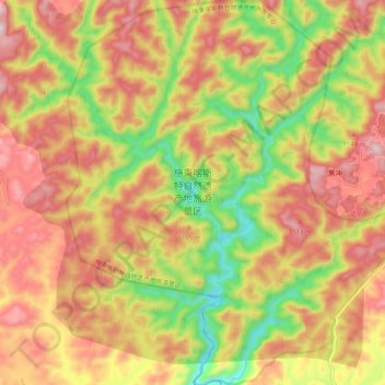
Name: 施秉喀斯特自然遗产地旅游景区 topographic map, elevation, terrain.
Location: 施秉喀斯特自然遗产地旅游景区, 施秉县, 黔东南苗族侗族自治州, 贵州省, 中国 (27.09896 108.04472 27.19044 108.13766)
Average elevation: 888 m
Minimum elevation: 608 m
Maximum elevation: 1,119 m
Other topographic maps
Click on a map to view its topography, its elevation and its terrain.