
Leuvens Haasrode topographic map
Interactive map
Click on the map to display elevation.
About this map
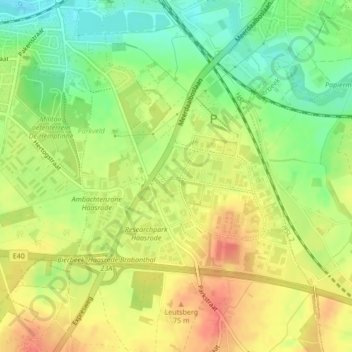
Name: Leuvens Haasrode topographic map, elevation, terrain.
Location: Leuvens Haasrode, Louvain, Brabant flamand, Flandre, Belgique (50.84264 4.71314 50.86010 4.74232)
Average elevation: 51 m
Minimum elevation: 23 m
Maximum elevation: 75 m
Other topographic maps
Click on a map to view its topography, its elevation and its terrain.