
Windas topographic map
Interactive map
Click on the map to display elevation.
About this map
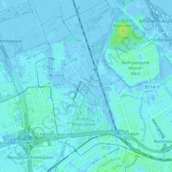
Name: Windas topographic map, elevation, terrain.
Location: Windas, Schiedam, Zuid-Holland, Nederland, 3121 KL, Nederland (51.91777 4.36762 51.95777 4.40762)
Average elevation: 1 m
Minimum elevation: -6 m
Maximum elevation: 11 m
Other topographic maps
Click on a map to view its topography, its elevation and its terrain.