
Thank you for supporting this site ❤️
Make a donation
Make a donation
Culver City topographic map
Click on the map to display elevation.
Thank you for supporting this site ❤️
Make a donation
Make a donation
About this map
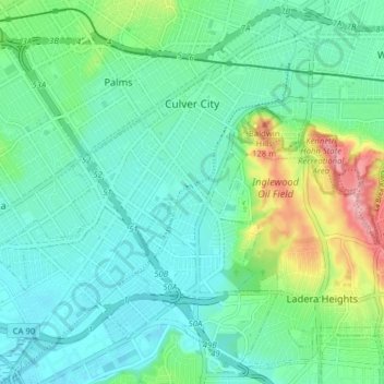
Name: Culver City topographic map, elevation, terrain.
Location: Culver City, Los Angeles County, California, United States (33.97687 -118.44838 34.03509 -118.36961)
Average elevation: 40 m
Minimum elevation: 3 m
Maximum elevation: 157 m
Thank you for supporting this site ❤️
Make a donation
Make a donation