
桃浦镇 topographic map
Interactive map
Click on the map to display elevation.
About this map
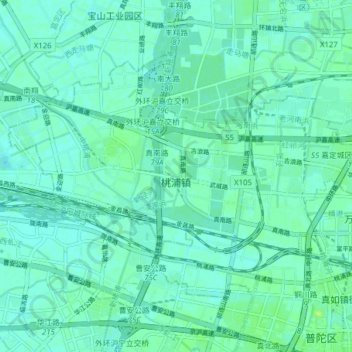
Name: 桃浦镇 topographic map, elevation, terrain.
Location: 桃浦镇, 普陀区, 上海市, 中国 (31.25883 121.32172 31.30476 121.39968)
Average elevation: 5 m
Minimum elevation: 1 m
Maximum elevation: 13 m
Other topographic maps
Click on a map to view its topography, its elevation and its terrain.