Le Pas de Vent topographic map
Interactive map
Click on the map to display elevation.
About this map
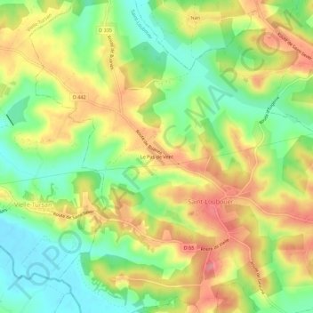
Name: Le Pas de Vent topographic map, elevation, terrain.
Average elevation: 116 m
Minimum elevation: 69 m
Maximum elevation: 167 m

Click on the map to display elevation.
Name: Le Pas de Vent topographic map, elevation, terrain.
Average elevation: 116 m
Minimum elevation: 69 m
Maximum elevation: 167 m