
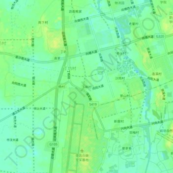
下岸村 topographic map
Interactive map
Click on the map to display elevation.
About this map
Name: 下岸村 topographic map, elevation, terrain.
Location: 下岸村, 丁坊村, 向塘镇, 南昌县, 南昌市, 江西省, 中国 (28.41653 115.90800 28.45653 115.94800)
Average elevation: 23 m
Minimum elevation: 15 m
Maximum elevation: 30 m