
Cerro Tristeza topographic map
Interactive map
Click on the map to display elevation.
About this map
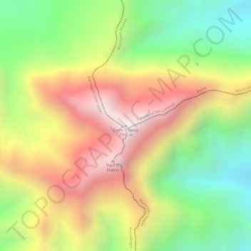
Name: Cerro Tristeza topographic map, elevation, terrain.
Location: Cerro Tristeza, Municipio Montes, Estado Sucre, Venezuela (10.08410 -63.95873 10.08420 -63.95863)
Average elevation: 2,152 m
Minimum elevation: 1,705 m
Maximum elevation: 2,586 m