
Brokopondo topographic map
Interactive map
Click on the map to display elevation.
About this map
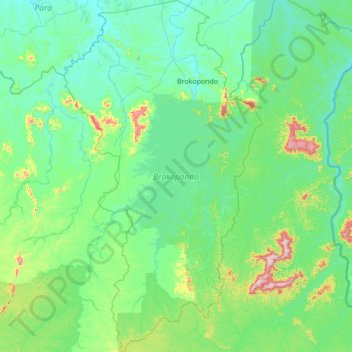
Name: Brokopondo topographic map, elevation, terrain.
Location: Brokopondo, Suriname (3.99869 -55.50059 5.37191 -54.72095)
Average elevation: 86 m
Minimum elevation: 2 m
Maximum elevation: 709 m