
Auburn topographic map
Interactive map
Click on the map to display elevation.
About this map
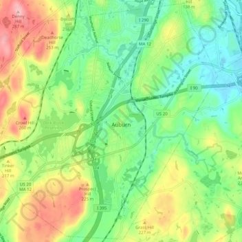
Name: Auburn topographic map, elevation, terrain.
Location: Auburn, Worcester, Massachusetts, USA (42.15986 -71.89515 42.23132 -71.79630)
Average elevation: 187 m
Minimum elevation: 123 m
Maximum elevation: 292 m