
Waterford Township topographic map
Interactive map
Click on the map to display elevation.
About this map
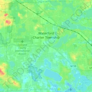
Name: Waterford Township topographic map, elevation, terrain.
Location: Waterford Township, Oakland County, Michigan, USA (42.61336 -83.44614 42.70592 -83.32540)
Average elevation: 294 m
Minimum elevation: 279 m
Maximum elevation: 341 m