Rives-en-Seine topographic map
Interactive map
Click on the map to display elevation.
About this map
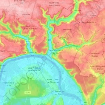
Name: Rives-en-Seine topographic map, elevation, terrain.
Average elevation: 74 m
Minimum elevation: -5 m
Maximum elevation: 154 m

Click on the map to display elevation.
Name: Rives-en-Seine topographic map, elevation, terrain.
Average elevation: 74 m
Minimum elevation: -5 m
Maximum elevation: 154 m