
Bessemer topographic map
Interactive map
Click on the map to display elevation.
About this map
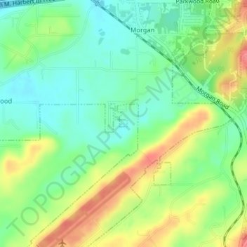
Name: Bessemer topographic map, elevation, terrain.
Location: Bessemer, Jefferson County, Alabama, USA (33.32309 -86.91969 33.32387 -86.91867)
Average elevation: 181 m
Minimum elevation: 153 m
Maximum elevation: 222 m